Steyning – South Downs
Steyning – South Downs Circular Loop
9km – 5.6 miles Difficulty – Medium
Parking: Chanctonbury Ring car park, Chanctonbury Ring Road, Steyning, BN44 3DR. what3words location – ///salmon.decisions.voted
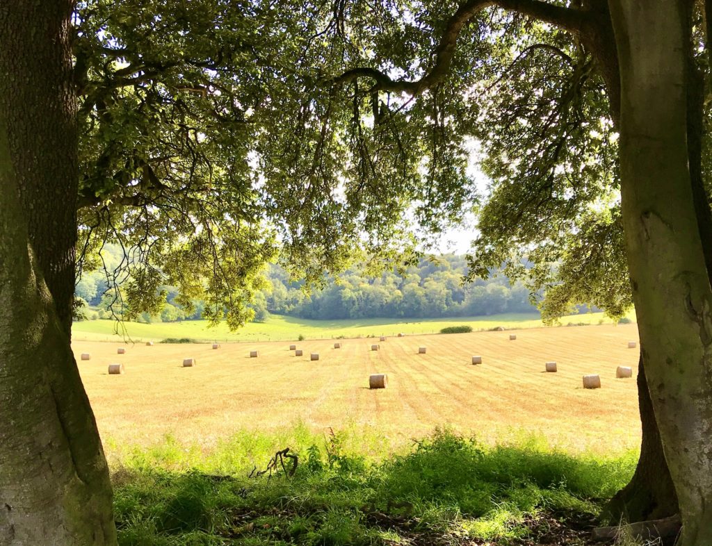
This walk starts with a climb up to the top of the South Downs and takes you along the South Downs Way before peeling off and heading down to the market town of Steyning. You can either continue on the circular route back to the car park, or you can explore the village of Steyning and grab some refreshments before heading back!
Walk Directions
Click here to download the route directions
1. This walk begins at the Chanctonbury Ring National Trust car park, which is just off the A283 midway between Washington and Steyning. The turning for the car park is signposted from the A283 and the road is opposite the road leading off to Ashington. Continue up Chanctonbury Ring road until you reach Chanctonbury Ring car park on your left. Parking here is free and there is no time limit. Please do not park on the roads near the car park.
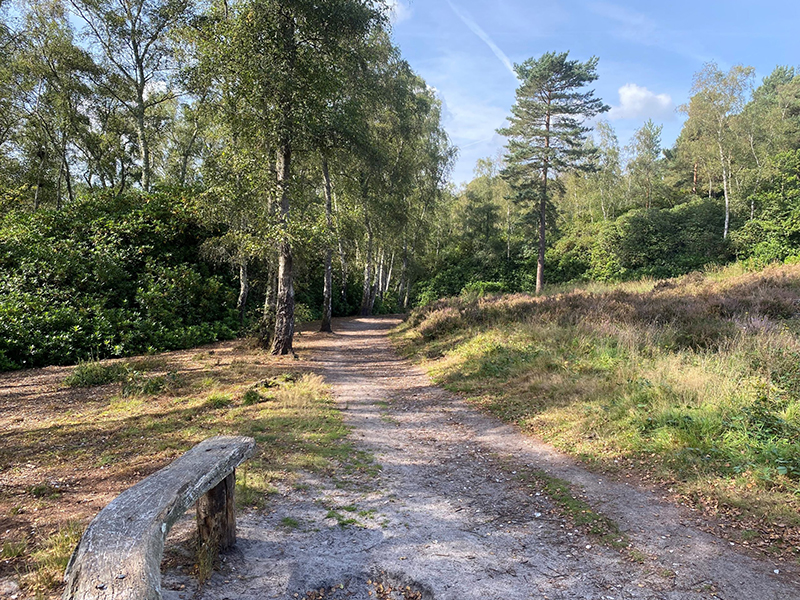
2. The walk commences by carrying on up the road you came in on (turning left out of the car park). Keep going straight on which takes you up a path through the woods. Where the path forks, take the path on the left, continuing up through the woods until you reach the South Downs Way. When you reach the top, turn left and continue on the South Downs Way for a while.
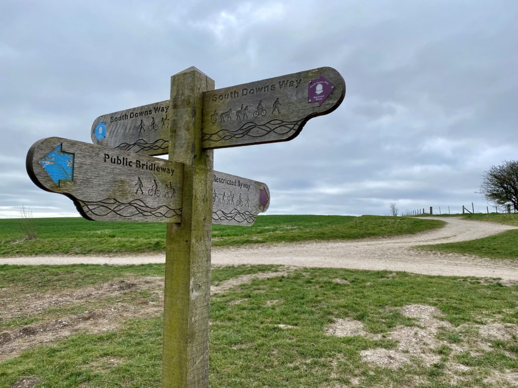
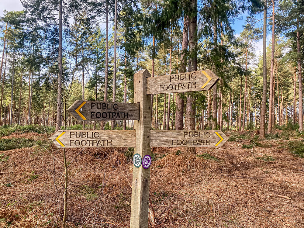
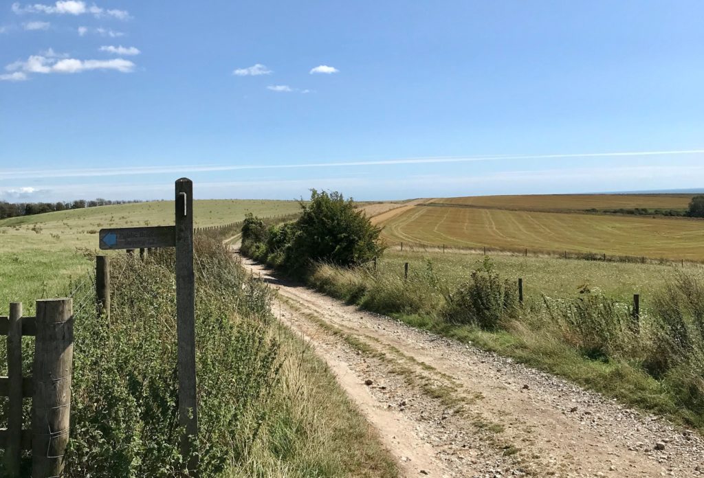
3. When you reach a sign reading ‘Public Bridleway, Steyning 1.2 miles’ directing you left (as shown in the photo below), take this path to the left.
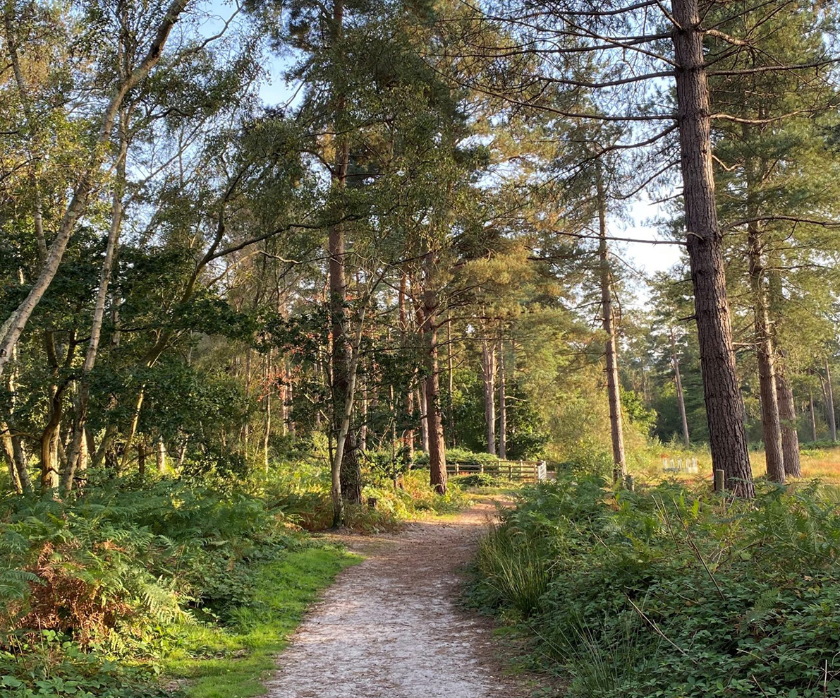
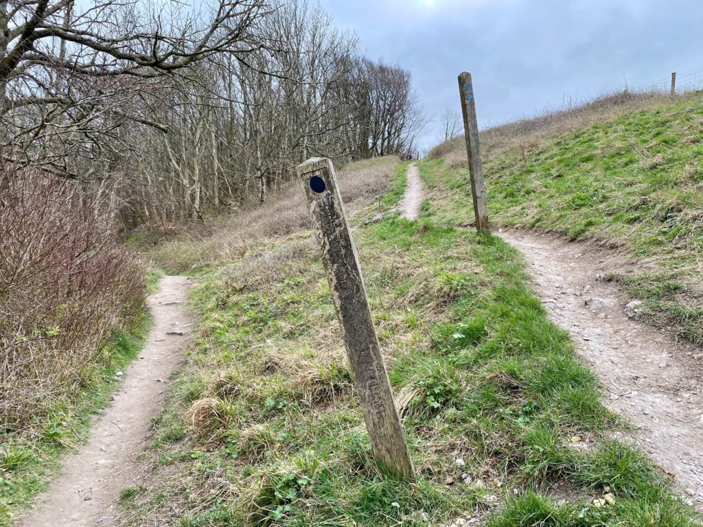
 4. Follow this narrower path as it gently declines. Where the path splits as shown below, take the path to the left.
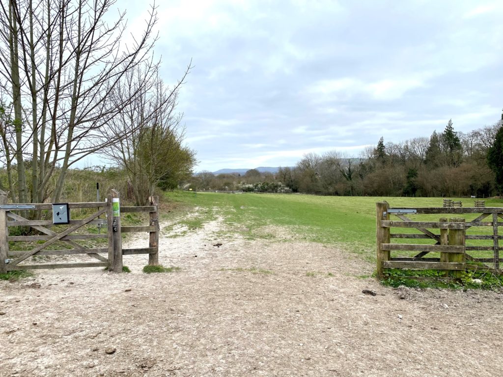
5. Continue along this path as it continues to descend. When you reach the gate shown below leading off from the right, pass through the right and follow the grassy path heading to the left as it heads downhill.
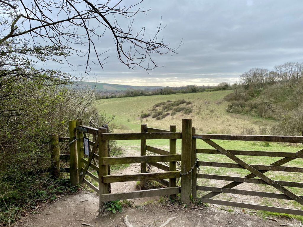
6. Once you reach the bottom of the hill, pass through the gateway shown below, and continue straight on and through the next gate.
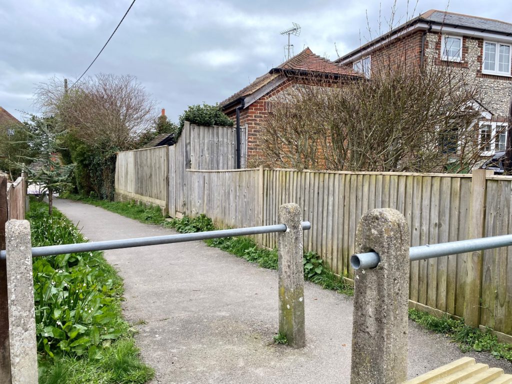
7. After passing through the gate, follow the path to the right, which can be a bit uneven, and takes you around the small pond over a small bridge. Continue on this path until you reach a gate straight ahead or the narrow path continues to the left. Continue on the path to the left and when the path reaches a T junction, joining with another path, take a left. Follow this path, which will then come out onto Mill Road by the SME building. At the SME building, follow the road round to the right. On the left, you will see a small path leading off, as shown below, which will bring you out onto Steyning high street.
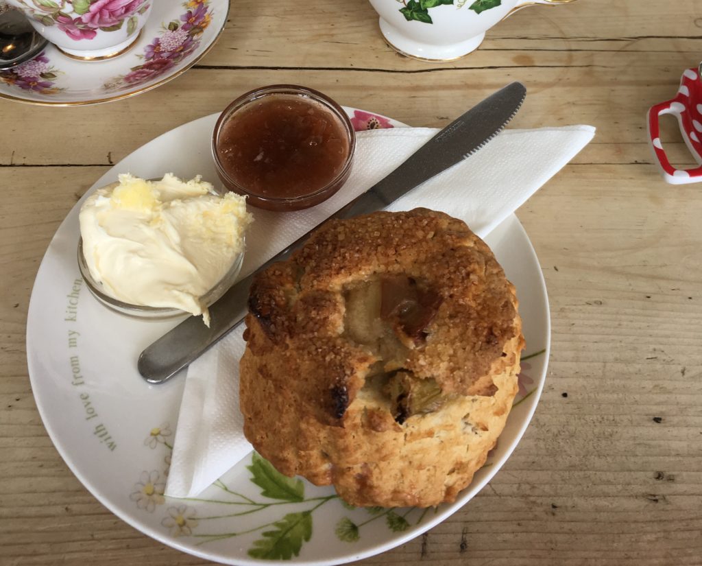
8. On Steyning High Street there are a selection of cafes to choose from for refreshments. Please see our Cafes in Steyning page for our recommendations!
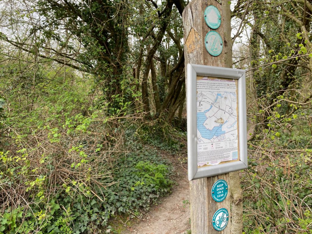
9. Once you have finished wandering around Steyning village, head West down the high street, past the Star Inn on your right and The Model Bakery. Continue until you reach the sharp corner, at which point take Mouse Lane leading off from the main road. After passing the houses on the left, take the path leading off to the left and then shortly after turn right, which takes you along a path on the edge of a field running adjacent to the road. Continue along this path for while until it begins to bend around the corner. Follow the path around the corner and then where there is a small path leading off to the right, as shown below, take this path.
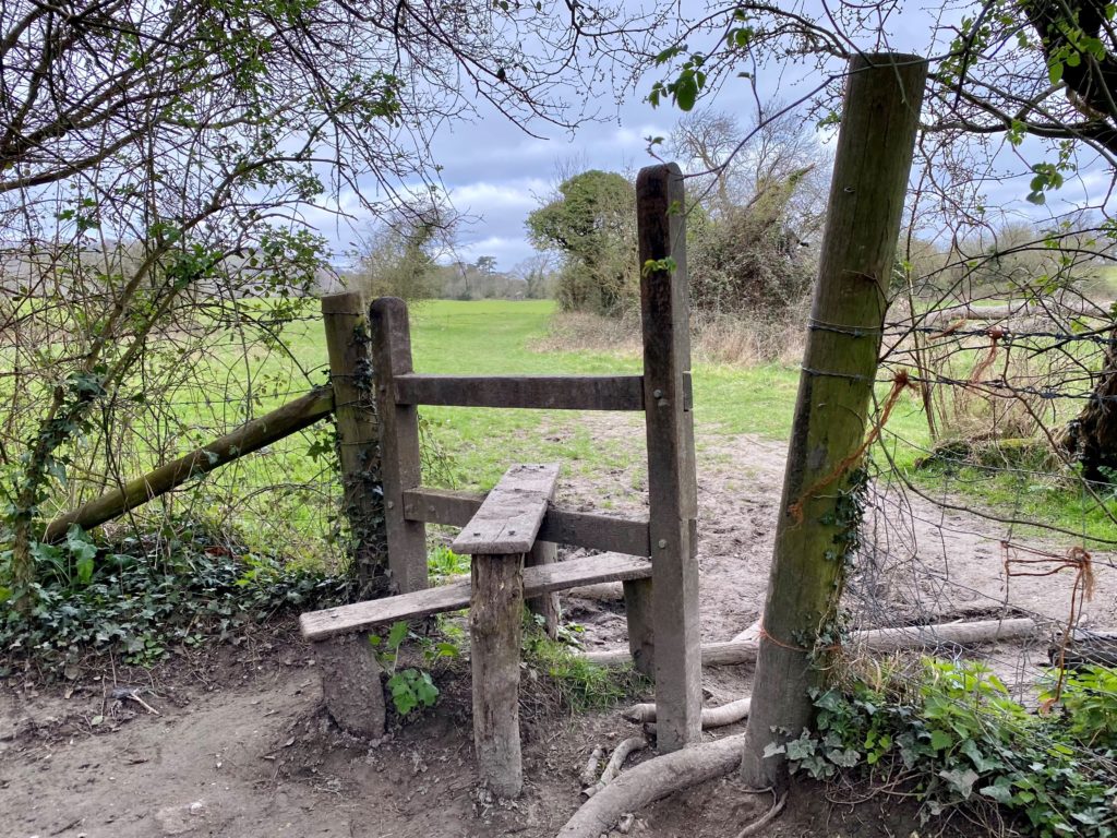
10. Follow this path over the stile and then continue over the next stile until the path eventually comes out on a quiet road. Continue along the road to the left and then when the road begins to bend to the right, take the path leading straight ahead.
11. Continue along this path, which takes you through a farm and there can often be cows and sheep to see. Eventually, you will come back out onto the road you started the walk on. Take a right and follow the road back down to the car park.