14km Balcombe Viaduct and Ardingly Reservoir
Ouse Valley Viaduct and Ardingly Reservoir Circular Walk
Distance – 14.2km – 8.85 miles Difficulty – Medium
Parking: Balcombe. Station car park and where the footpath starts – what3words location: ///slyly.measures.puddings
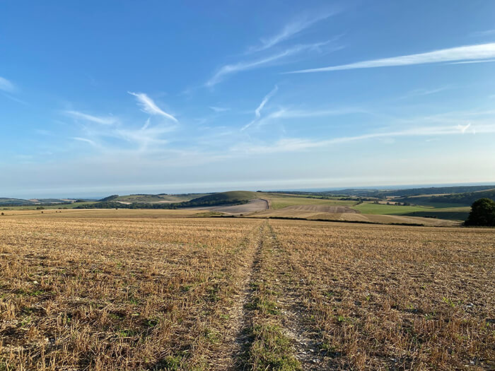
This walk starts at Balcombe, we parked in Balcombe and walked from here to the station rather than parking at the station itself. You could always get the train into Balcombe as well. This then takes you along the route of the River Ouse, past the Ouse Valley Viaduct and around the Ardingly Reservoir before bringing you back into Balcombe. There are some steep hills in places but are fine for anyone with a reasonable level of fitness.
The Grade II listed viaduct is truly an impressive piece of architecture and was designed by John Urpeth Rastrick. The viaduct is 96 feet high, made up of 37 brick semi-circular arches and its construction began in 1839 and ended in 1842. Its daily traffic is the Brighton Main Line.
If you are wanting a shorter walk, you can park at Ardingly Reservoir car park and walk to the viaduct from there (scroll to the bottom of this page for the map).
Walk Directions
1. The walk begins in Balcombe itself at the station car park. As you walk towards the exit of the station towards London Road, there is a footpath to your right (directly opposite the sign saying Balcombe Station). The what3words location is ///slyly.measures.puddings. Take this footpath and go over the stile, it will bring you into a field (we found horses in there).
2. You then come out onto Rowhill Lane. Take a left here and immediately you will see a footpath to your right, this takes you through a couple of gates through another field with horses in (or at least they were there when we went!). Continue up this footpath, called Rocks Lane.
3. At the end of this footpath, you come out onto Westup Road, take a right. You will then come to a fork – take the left path.
4. Follow this path around – you will pass a farm on your right-hand side.
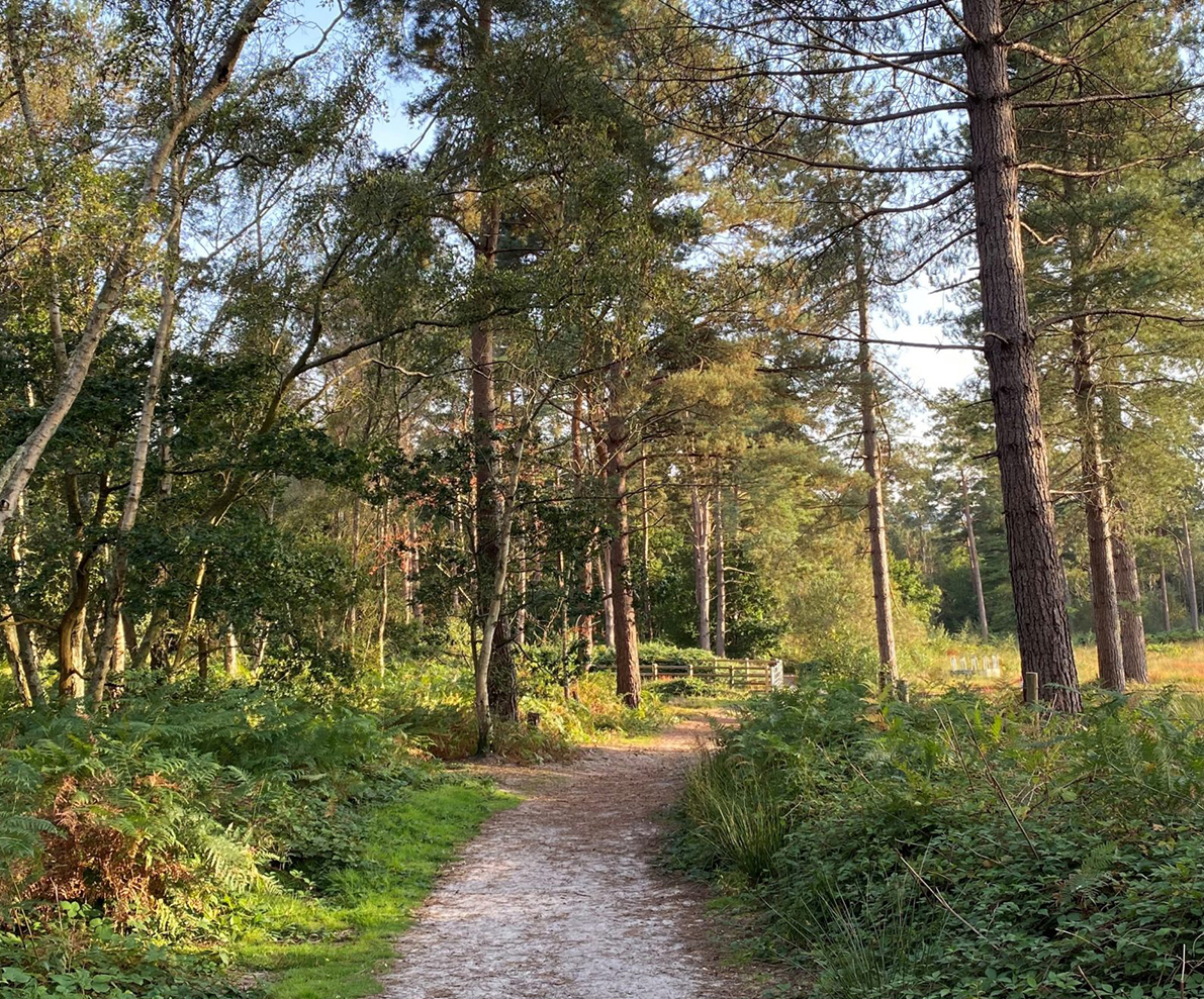
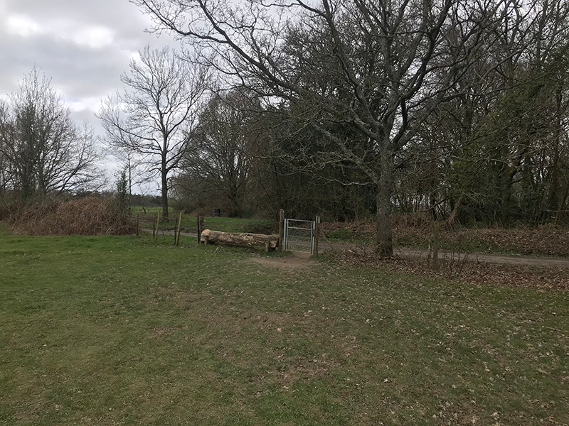
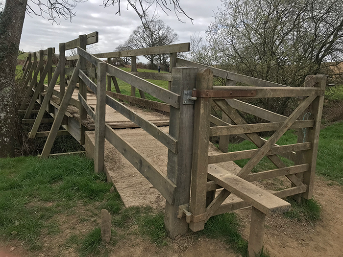
5. Keep on this path – and keep to the left. There are a number of stiles here – some quite big! You will find yourself walking through a large field – walk straight across this to the gate at the other end. (see image below)
6. Take a right after coming out of the gate, and then a left following the footpath sign, through the woodland. Keep on this path, you will eventually see some houses on the left and sheep on your right. We found a lovely blossom tree at the end!
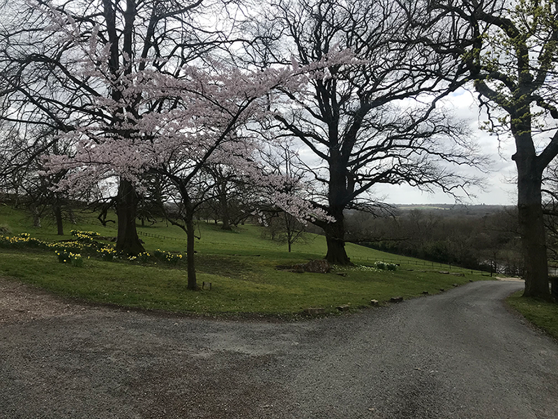
7. At this junction, it is a bit like a crossroads, you want to take a left along Whitethroat Lane. This path has some really magnificent houses on it!
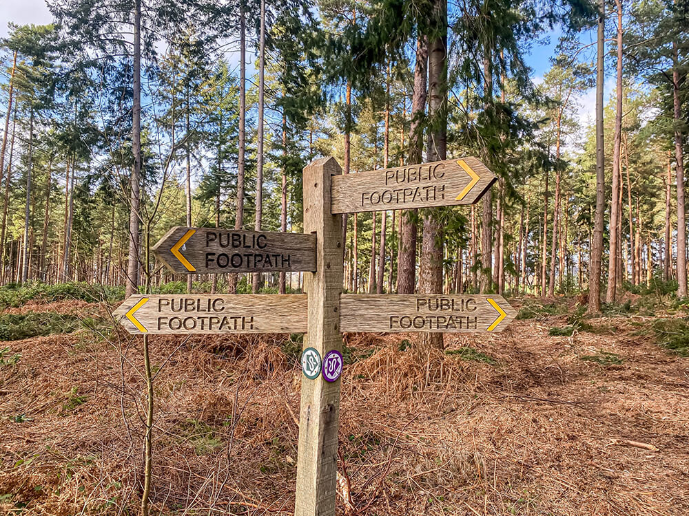
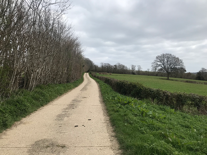
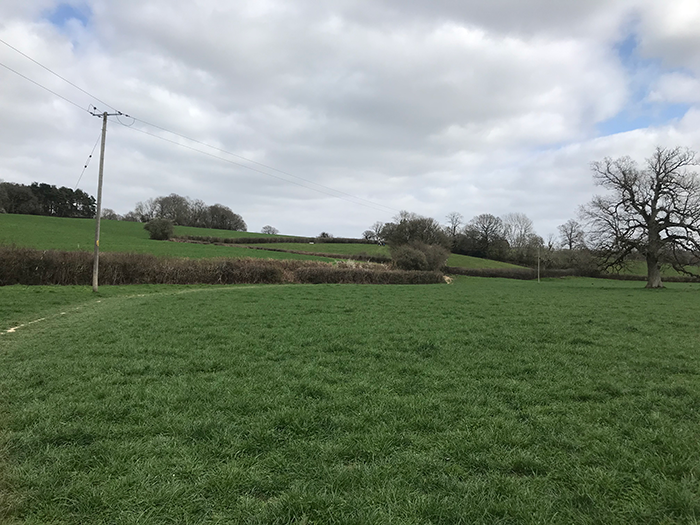
8. Keep walking along Whitethroat Lane to the end of the lane. (see image below)
9. At the end of the lane you will see a pond opposite and you will be on Rowhill Lane. Take a right here and continue down this single track lane.
10. Keep on this road, you will eventually see a footpath on the right-hand side which just cuts off the corner of the road and takes you onto Cherry Lane. Stay on this until the end, until you meet the B2036.
11. Turn left onto the B2036 and take the footpath on the right-hand side almost immediately, which is signposted Great Bentley Farm.
12. Stay on this path for a little while heading towards the farm, until you meet a footpath on the left-hand side.
13. Take this footpath and follow it through the fields, crossing the River Ouse over a bridge (which has a stile over a gate) and up the hill.
14. There is a stile at top of the hill through a short bit of woodland and then there is another stile immediately after. Once over the stiles, keep to the left and go through the houses/buildings at the top. You will be able to see the Viaduct from here!
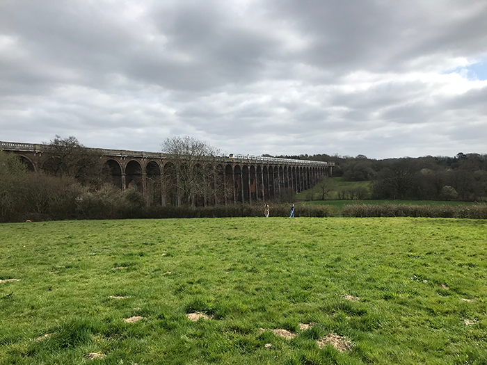
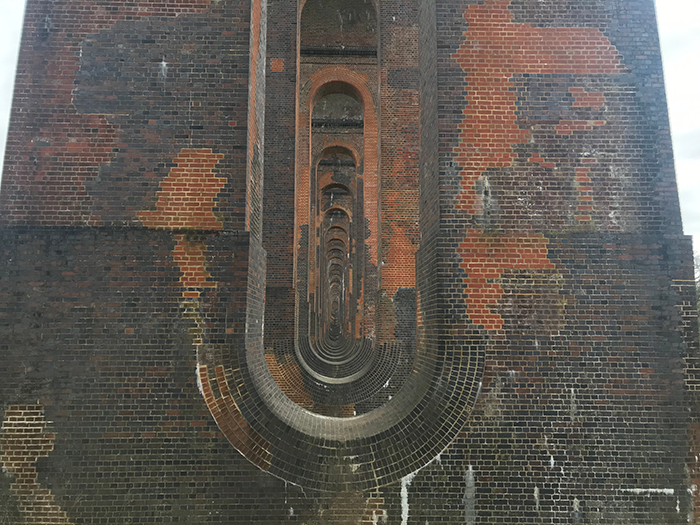
15. Follow the path down the hill and this goes straight underneath the viaduct – a great place to get some up-close shots of the semi-circular arches!
16. Continue down the path until you reach the main road. This is quite busy as a lot of people park on this road to view the viaduct. At the main road, turn right and continue over the bridge.
17. You will see the public footpath sign on the left-hand side just after the bridge (///openly.automate.actor), and take this footpath.
18. From here it is quite easy – just follow the footpath all the way along the River Ouse. The path will eventually go steeply upwards and bring you out at Ardingly Reservoir.
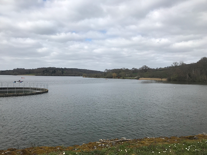
19. The footpath goes around the Reservoir in an anti-clockwise direction so is fairly easy to follow! There is a short stretch that brings you onto Balcombe Lane but take the next footpath on the left through a gate to bring you back around the other side of the reservoir. There will be an information sign saying Welcome to Ardingly Reservoir so you know you are in the right place!
20. Continue on this footpath on this side of the reservoir. The path around the reservoir is a nice easy walk and a little muddy in places but not too bad.
21. The footpath around the reservoir eventually brings you out onto Mill Lane. Turn left and continue along Mill Lane. There will be a footpath on the left-hand side up some steep steps just past the houses and opposite where The Mill House is on your right-hand side.
22. Take this footpath and at the top, you will reach a field. Continue through this field along the right-hand side. This brings you out onto Haywards Heath Road.
23. Take a left along the main road. Take the next right down Oldlands Avenue.
24. Follow this road to the end until it reaches Newlands. There will be a footpath on the left-hand side to take you down to the train station if that is where you have parked.
Route Map
Ardingly Short Walk
Ardingly Reservoir car park: Distance – 1.12 miles Difficulty – Easy
This is a shorter walk from Ardingly Reservoir car park (RH17 6SQ) to the Viaduct and back. From the car park, you walk along the River Ouse and come out on Haywards Heath Road. You will be able to see the Viaduct from here and you can turn right on this road and walk a short way upwards and the viaduct will be on your left.
The walk takes about an hour there and back and roughly 2.2 miles.
There are no reviews yet. Be the first one to write one.
Leave a Review