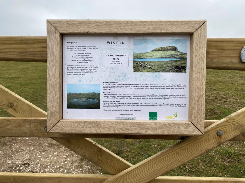
Chanctonbury Ring
Chanctonbury Ring Circular Loop
4.6km – 2.9 miles Difficulty – Medium
Parking: Washington South Downs Way car park, nearing Washington Bostal, what3words location – ///treetop.hides.pillow
This walk starts just South of Washington and takes you on a circular loop up to Chanctonbury Ring, where there are breath-taking views for miles over Sussex, before heading back down through woodland.
The climb up to Chanctonbury Ring is fairly steep, but not extremely strenuous. The descent down from Chanctonbury Ring is quite steep and can get a little slippery when wet, so walking shoes are recommended.
Walk Directions
Download the route directions as a PDF
1.This walk starts at the South Downs Way car park in Washington. From Washington village, follow the road past the Frankland Arms on your right and continue up this road until you can see the A24 on your right. Take the left-hand turn and continue up the short single lane track that takes you to the car park. Parking here is free and there is no time limit (car park is locked at dusk). From the car park follow the signpost up the path towards the River Adur.
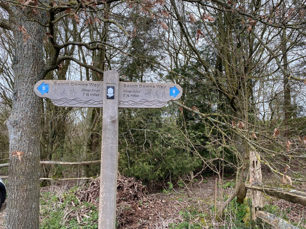
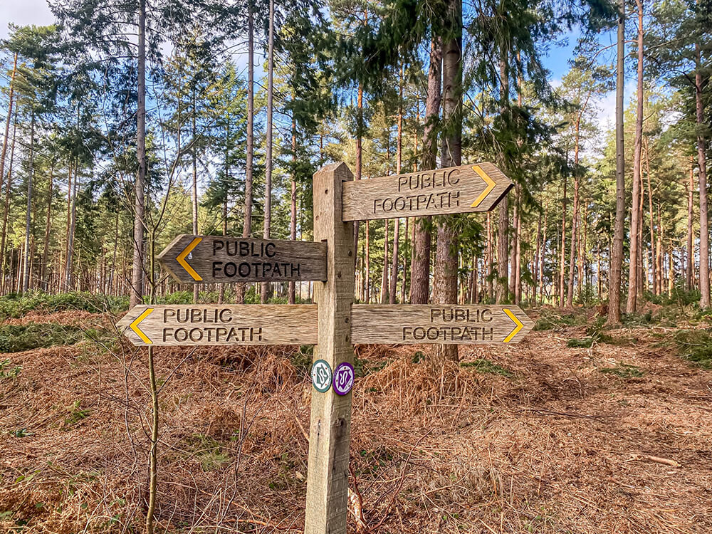
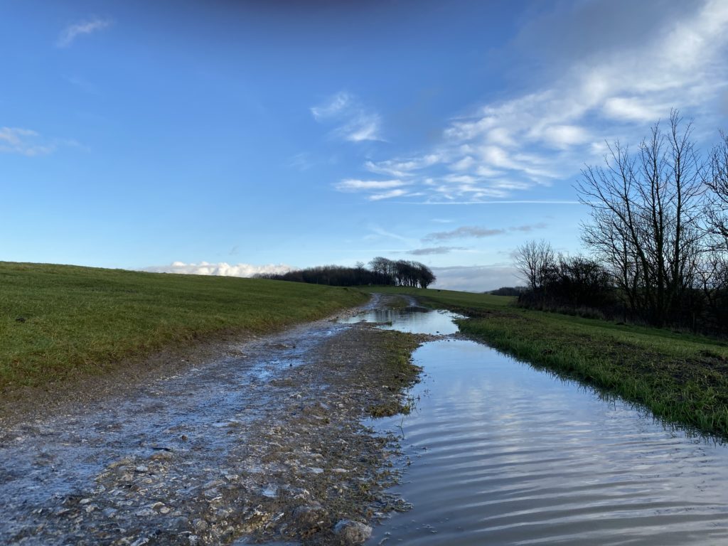
2. Continue following the South Downs Way up the chalk path until you reach the fingerpost shown below. Instead of continuing on the South Downs Way, take the path which veers slightly off to the left, and shortly pass through the gate.
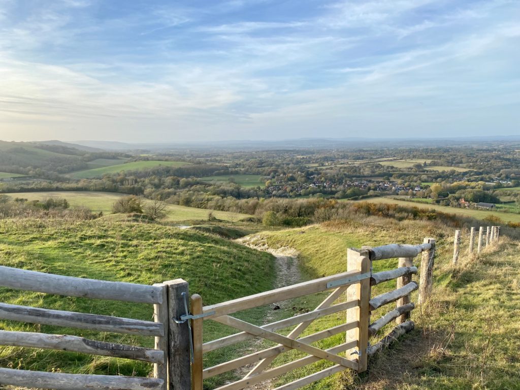
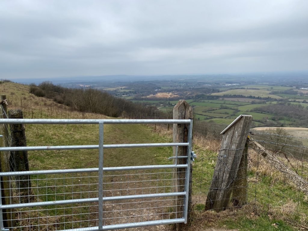
3. Continue ascending up this path which eventually brings you to a new wooden gate, which takes you into a large open field (note that there are often sheep in this field so please keep your dog on a lead). Here, if you turn around there are some great views across Washington village and further beyond!
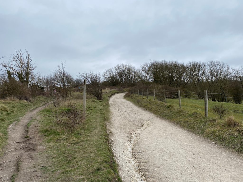
4. After admiring the views, continue on the path until you reach another gate, which is where this path merges with the main South Downs Way again (note: just before you reach the gate, there is a dew pond just to the left if your dog needs a drink!). Pass through the gate and take the path to the left, crossing over the cattle grid.
5. After passing over the cattle grid, Chanctonbury Ring should start to come into view.
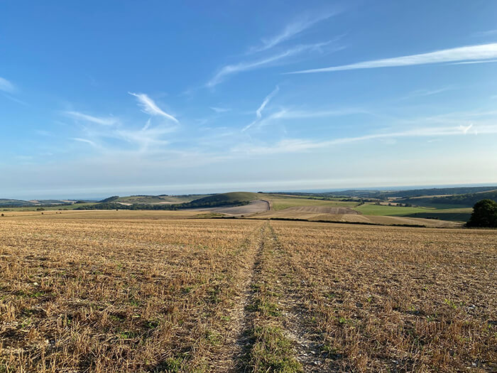
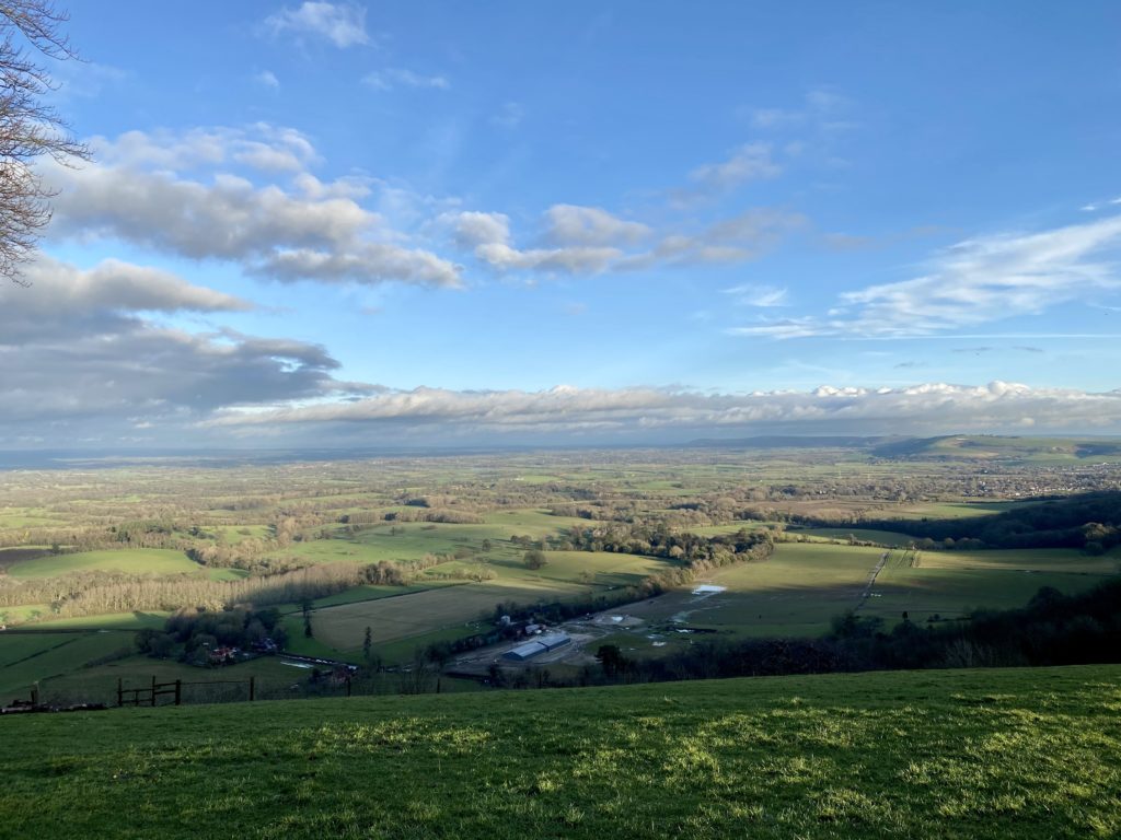
6. Continue up to Chantonbury Ring – this walk takes you down the path that is just on the left before Chantonbury Ring, however, it is definitely worth walking around the circle of trees and observing the views across Sussex. You can see all across Washington, Wiston and can even see as far across as Truleigh Hill if you across to the right, a high point on the South Downs at 216m. Truleigh Hill was used for radar defences during WWII and can be spotted by the telecommunications towers that still stand there.
7. Once you have admired the view, follow the trees back round to the path you came in on, if you look to the right, the gate to the right that takes you down a fairly steep path (note this path can be a bit slippery in the rain).
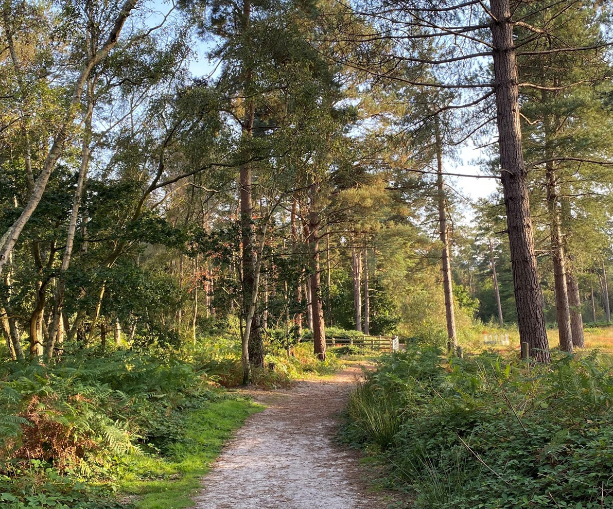
8. Follow this path as it descends and then enters the woods. When the path begins to flatten, take the path as it loosely curves to the left until you eventually pass through an open gate into a field. Walk across this field and this takes you to a metal gate that will take you back onto the South Downs Way where the walk commenced. Take a right back down the chalk path to return to the car park.