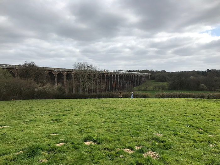
Amberley – River Arun Circular Walk
6km – 3.7 miles Difficulty – Medium
By Train: The walk starts at Amberley station.
By Car: You can usually find a spot to park along Stoke Road, what3words – ///plantings.harsh.portable.
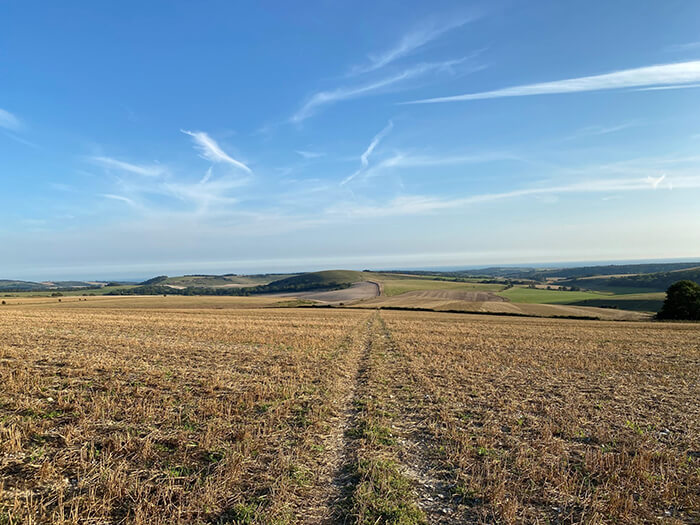
This walk starts by Amberley station and takes you along the River Arun towards Bury, before heading round the back of Amberley Castle and past the pretty thatched houses in Amberley village. The walk then heads up to the South Downs Way, with some stunning views over Sussex, before heading back down to the start point.
Note: There is one field in this walk which can get quite wet (even in summer!) so it is recommended to wear walking shoes to avoid soggy feet.
Refreshments
There is a lovely refreshment stop en route at Amberley Village Tea Rooms which is approximately 2/3 of the way around.
Walk Directions
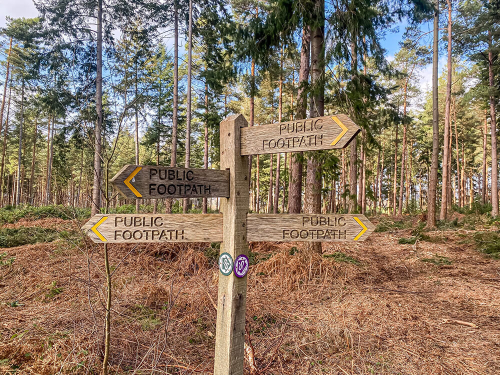
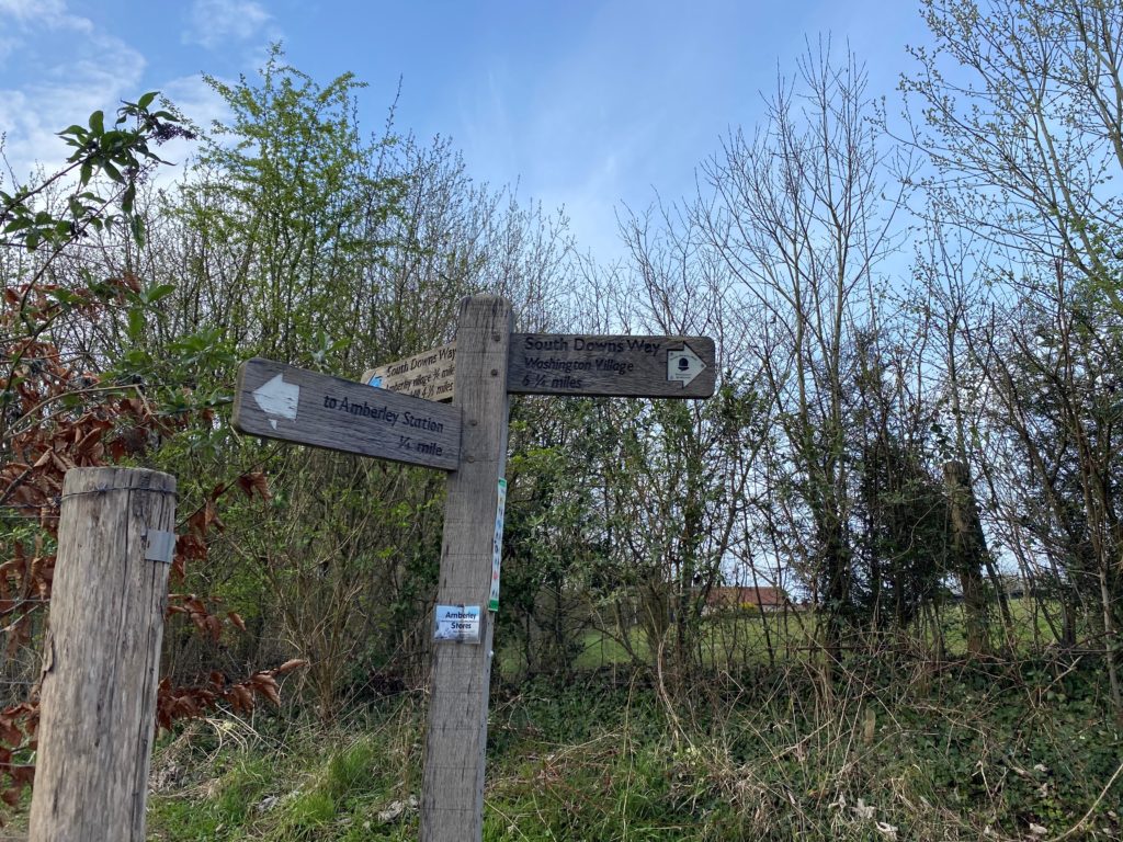
1. This walk starts at The Bridge Inn (where you can usually find a spot to park along Stoke Road) or at Amberley Station which is just next door. If starting from The Bridge Inn, head back across the main road (B2139) and turn right until you reach the signpost below, just before you reach the bridge. Follow the signpost to the left. If starting from Amberley station, take a left out of the station and cross the B2139, heading under the bridge until you reach the signpost where you will follow the signpost heading right.
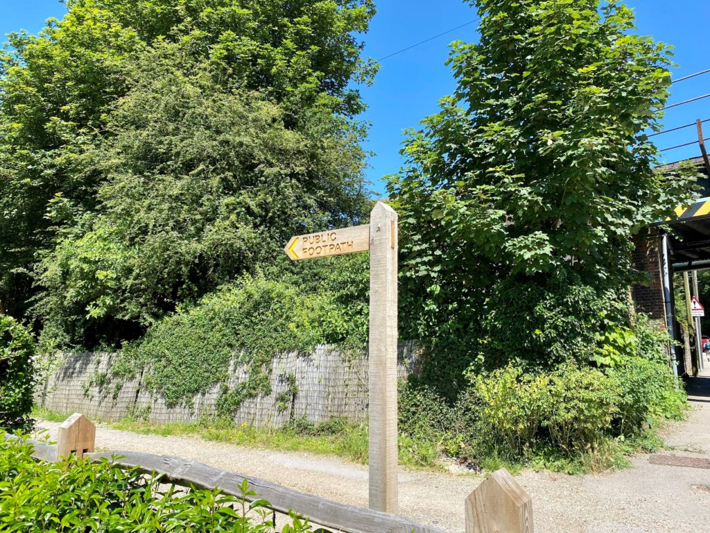
2. Continue along this footpath which will take you through a metal gate bend slightly to the left until it reaches the River Arun. Follow the footpath along the River Arun passing through the kissing gate shown below.
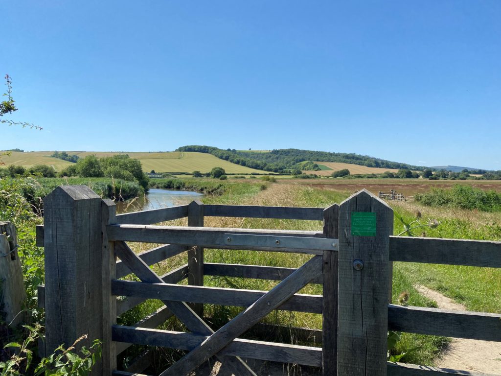
3. Once you reach the bridge crossing the river, do not cross the bridge (which is the South Downs Way) but instead continue straight through the next kissing gate, keeping the river on your left.
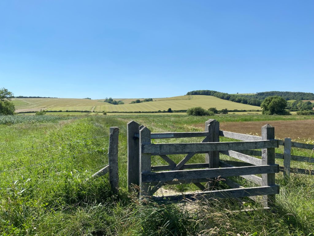
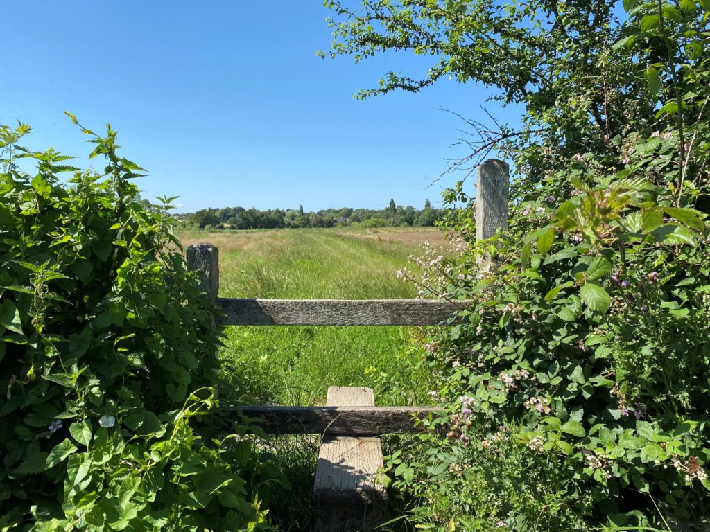
4. Continue along the path following the River Arun heading over the stile below or through the gate to the right.
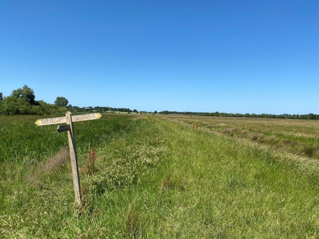
5. Once you reach Bury, where there is a new public footpath sign shown below. Follow the sign pointing to the right and head across this field (just a note that this field can get quite boggy and wet!).
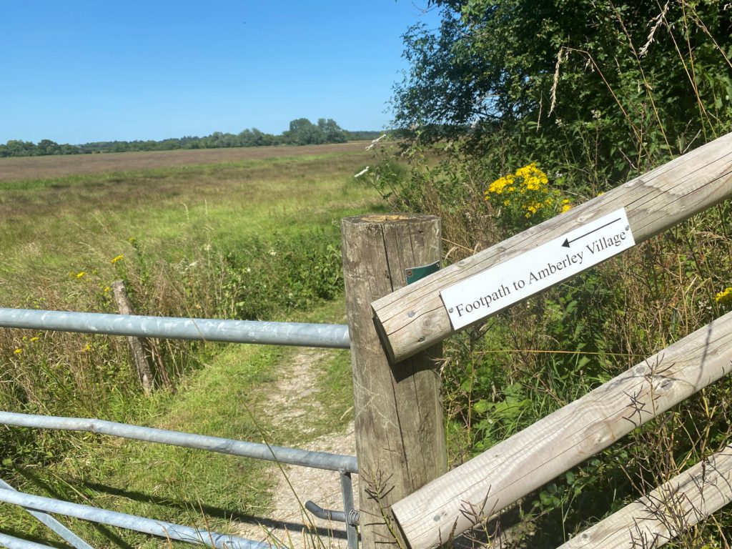
5. Continue across the next few fields following the footpath signs until you reach the railway line. Head over the stile and cross the railway line with care. Cross over the next stile and then head through the metal gate where the footpath to Amberley Village sign is pointing towards.
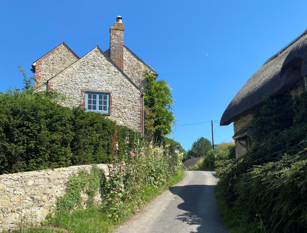
6. This path then continues around the back of Amberley Castle and will shortly bring you out in Amberley village where you follow the lane past an array of pretty houses!
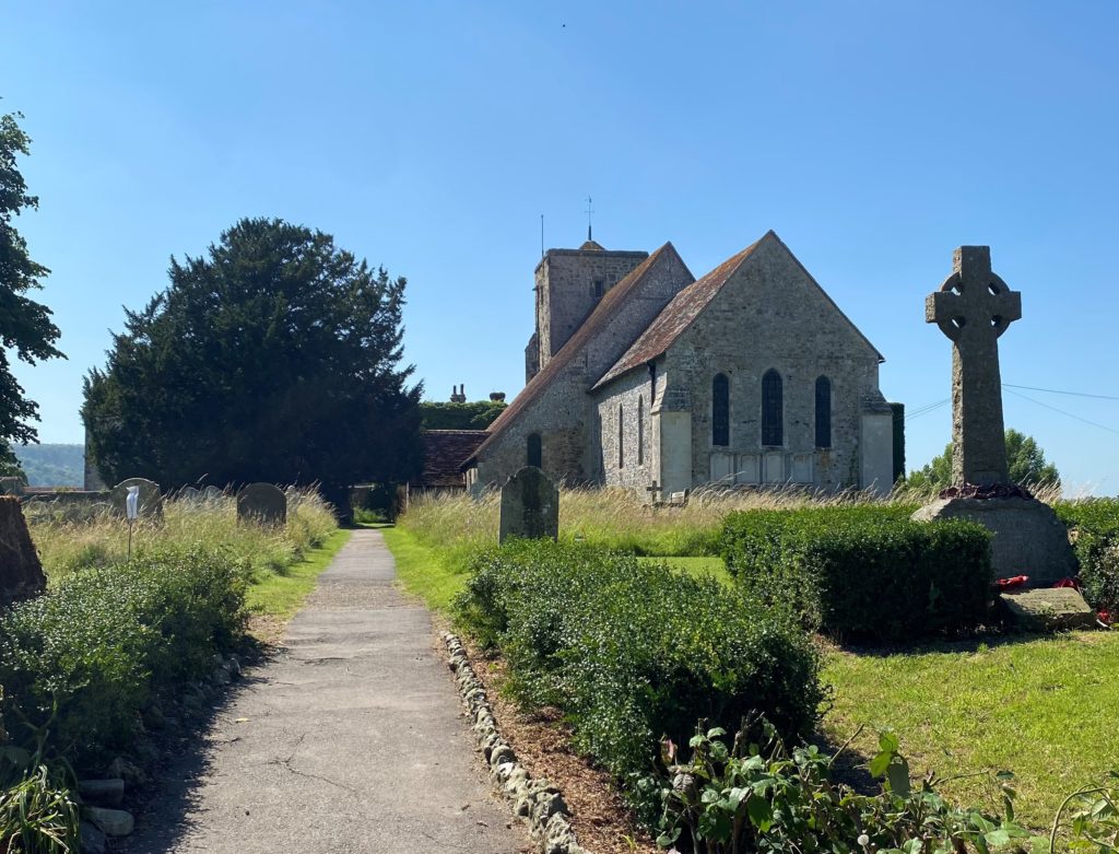
7. As you follow the lane through Amberley, you will pass by St Michael’s Church on your right. It is worth veering off the route here and taking a look at this beautiful little church. If you head towards the back of the Church, you can see the wooden doors connecting the Church to Amberley Castle.
8. Re-join the lane (Church Street), following it until you reach a T-junction where the lane meets with School Road. If you fancy a refreshment at this point, then head right where the Amberley Tea Rooms are located, almost opposite the T-junction.
9. Once you have finished with refreshments, head down School Lane turning right from the T-junction until you reach the B2139. Here are two options to take you back. You can either turn right, which just follows the road back to the station/pub, which is not as hilly but does follow the busy road. Alternatively, we like to cross over and head up Mill Lane, which takes you up to the South Downs Way where there are some beautiful views from the top!
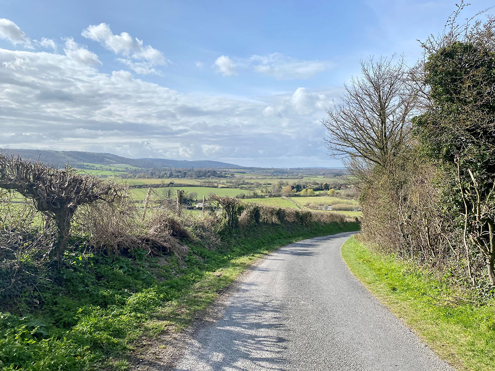
10. Once you reach the top, take a right and follow the South Downs Way as it descends back down to Amberley. Once the South Downs Way reaches the road, follow the sign to Amberley station until you reach the start point.
Walk Map
We hope you enjoyed this walk! If you have tried out this walk, we would love to hear your
feedback – please use our review form below or you can drop us a
message via the contact form on our website.
Reviews
Bullrushes!
After a very gloomy week in November, the sun shone for this pleasant, easy walk surrounding Amberley. Pleasure to see the bullrushes on the banks of River Arun. Thanks, I enjoyed the walk and the clear description. No getting lost on this walk. (Bridge Inn is not open Mon or Tues at Nov. 2024,)

