Slindon Estate & Nore Folly Walk
8.8km – 5.5 miles Difficulty – Medium
Parking – Street parking along Top Road, Slindon. what3words location – ///degree.sharp.nanny
Map – you will need OL10 map
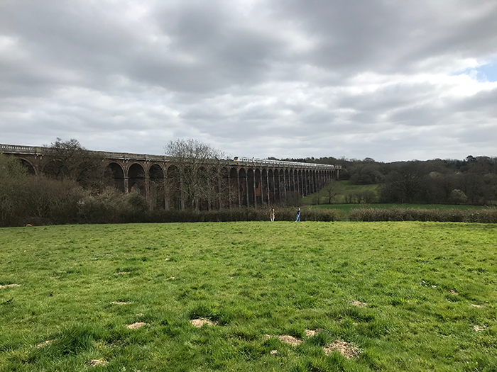
This walk takes you around the beautiful Slindon Estate, which is owned by the National Trust. The walk passes by Nore Folly, before heading along Stane Street, a Roman Road connecting Chichester and London Bridge. The route then takes you past Northwood, which was agricultural land that the National Trust are returning back to woodland, before taking you past the ‘Littlewood lookout’, a lovely sweet chestnut framed shelter with an information board. The walk finishes with a short climb, allowing you to take in spectacular panoramic views across the Slindon Estate and over towards Bignor Hill.
See the full walk directions underneath the map
Walk Directions
1. This walk begins on the corner of Top Road, just by the entrance of Slindon College. You can usually find a place to park along Top Road, but please park sensibly. Head down Top Road as it turns left down the hill and then take the road leading off to the right where the blue sign points towards Bignor Hill.
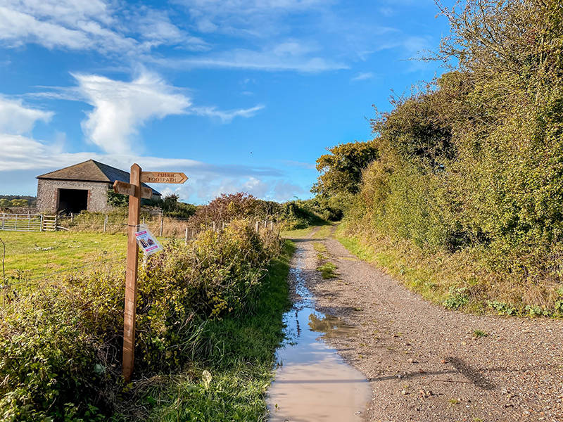
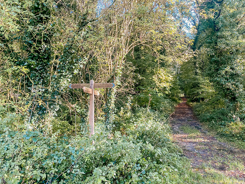
2. Continue following the road as it weaves downhill. Just before you reach a building, follow the public footpath sign to your left up the track, heading around the gate.
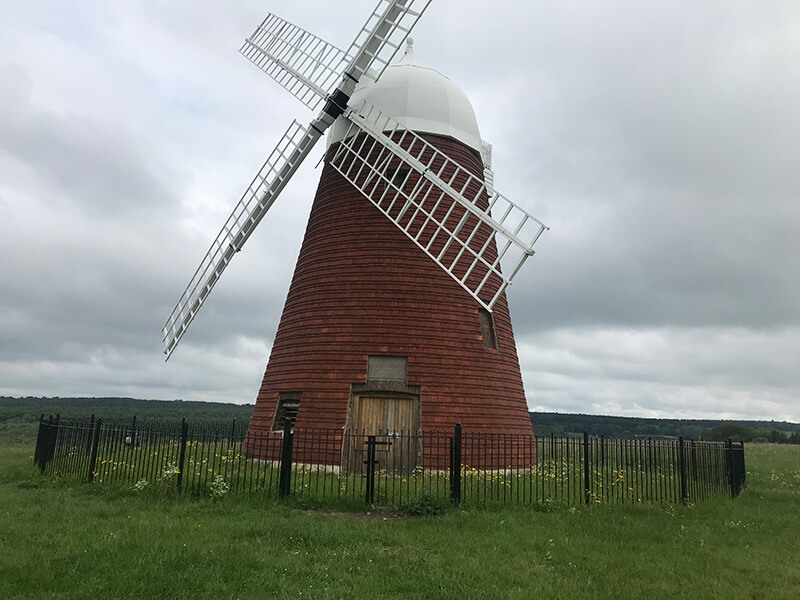
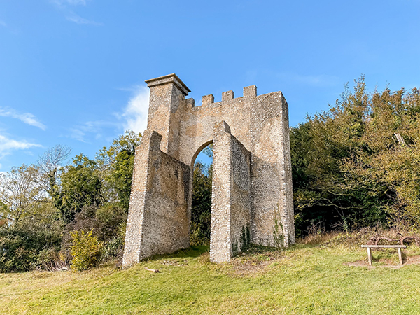
3. Continue up this path until you reach a signposted path leading to the right, just before another building. Here take this path to the right, and you should be able to see Nore Folly come into view ahead.
4. Continue up the path to the folly and enjoy the views across Slindon Estate and further afield towards the coast.
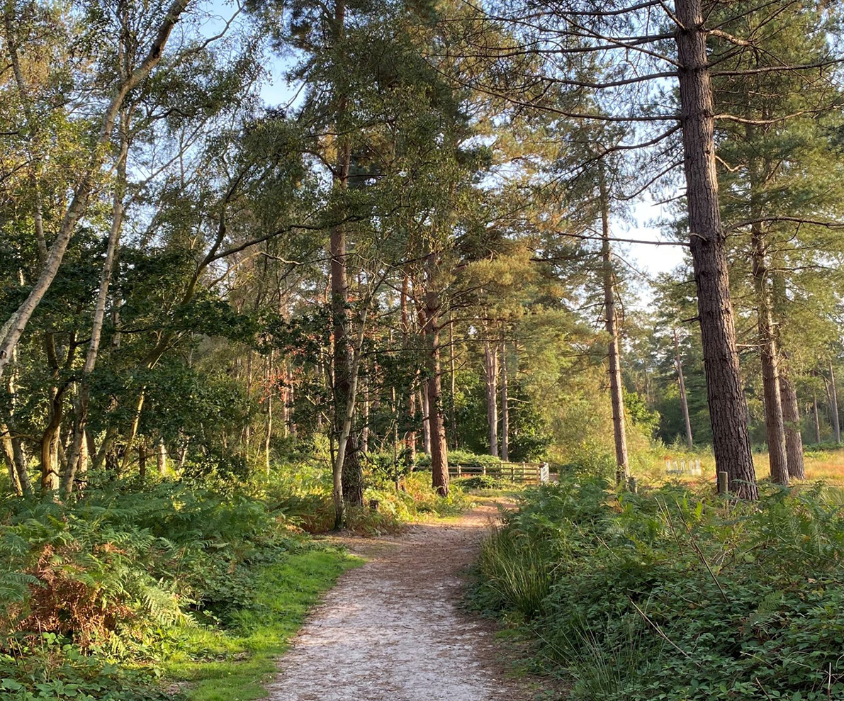
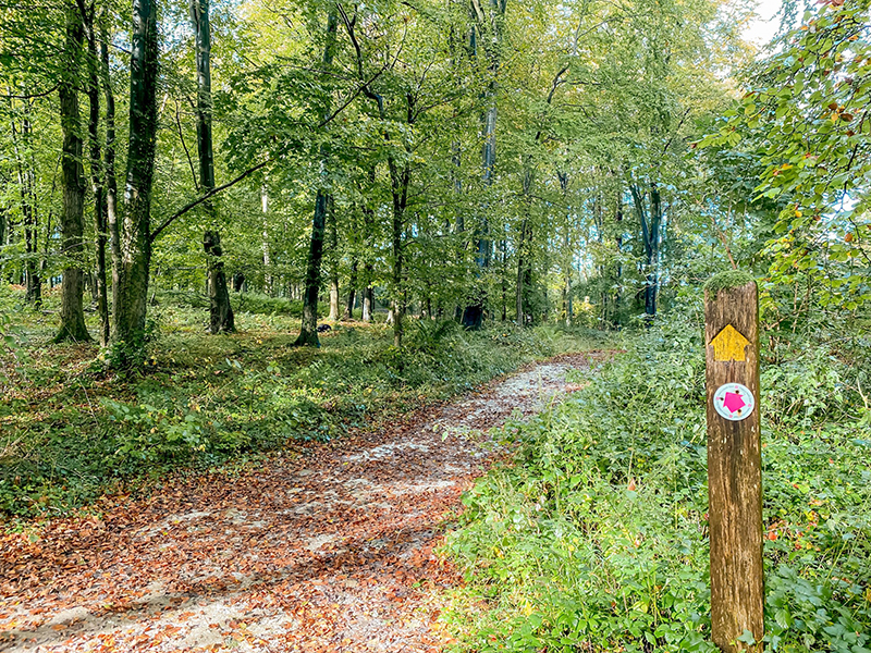
5. Once you have admired the views, continue on up the path leading off from the right of the folly. This will take you into woodland, where you will continue on this path heading straight through the trees for a while. At the end of this path, there is a horizontal wooden barrier – here take the path leading to the right following the yellow arrow.
6. You will shortly reach a signposted fork – here, take the right path which starts to gently decline.
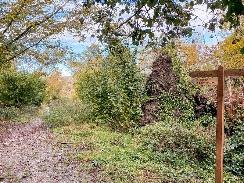
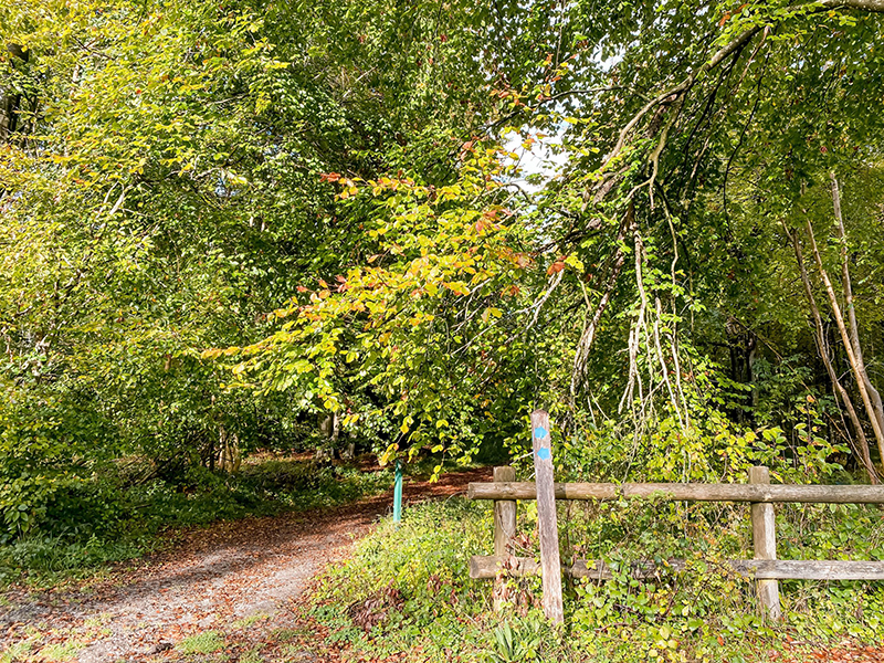
7. At the bottom of this path, the path then splits into four. Take the path to the left following the blue arrow.
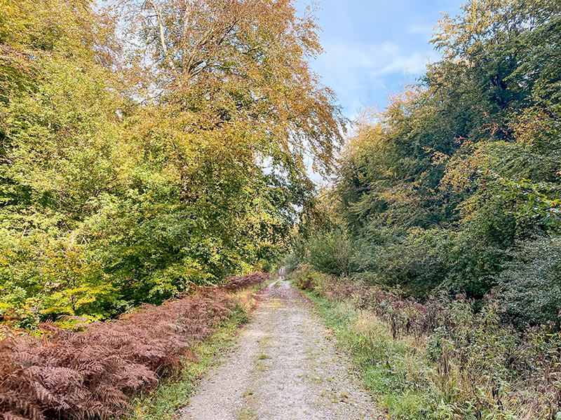
8. Continue on this path until you reach a path leading off to the right. Take this path. After continuing a short distance, you will soon reach a crossroads where there is a signpost on the left-hand side of the path, with a white Monarch’s Way disc. Here take the path to the right – you are now walking on Stane Street, a 57-mile long Roman road connecting Chichester to London Bridge.
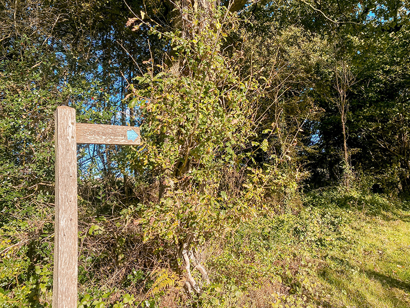
9. Continue along Stane Street for a while, until you eventually reach a fingerpost pointing in 6 directions. This fingerpost also has a Monarch’s Way disc on. From here, follow the sign leading to Madehurst.
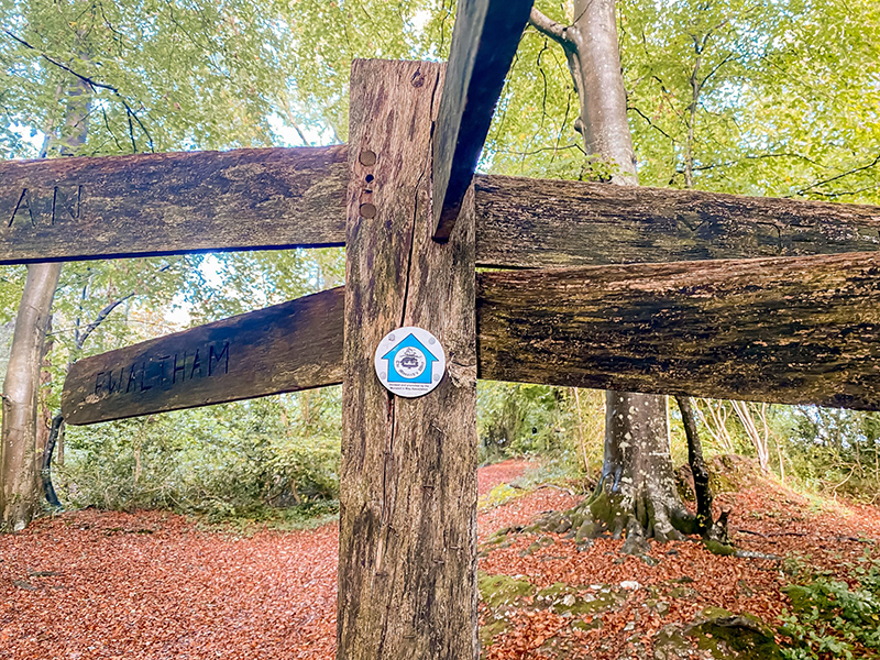
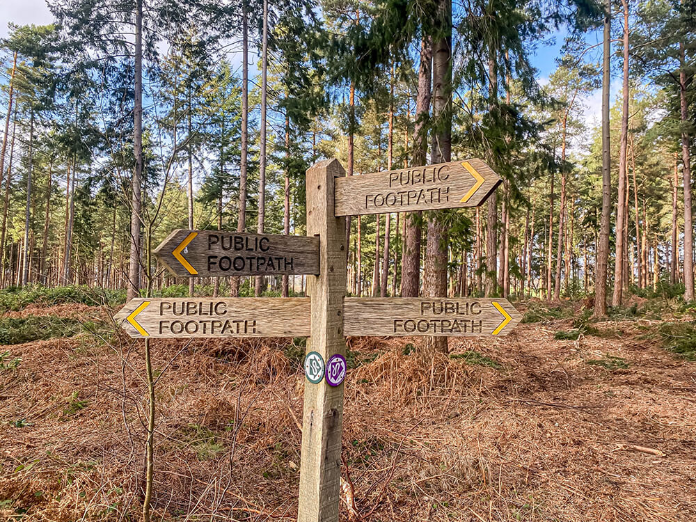
10. As there are quite a few paths leading off from the 6-ways fingerpost, the path you want to take is shown below, signposted by a blue arrow on the left.
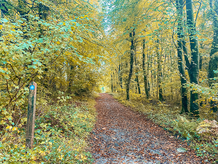
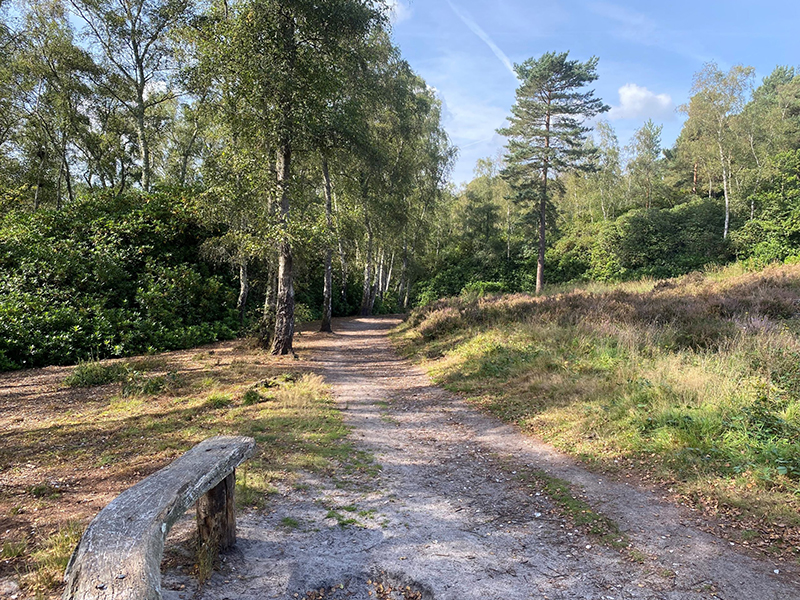
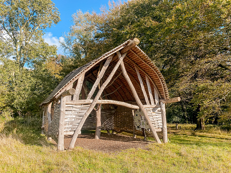
11. Continue following this path straight for a while, which then takes you past Northwood on your right-hand side, an area the size of 100 football pitches that is being returned to woodland. After passing Northwood, continue following the path straight as it begins to gently ascend. You will soon reach the ‘Littlewood lookout’, a beautiful shelter with a sweet chestnut frame. There is also an information board inside which includes a map and information on the Slindon Estate and the wildlife that call it home.
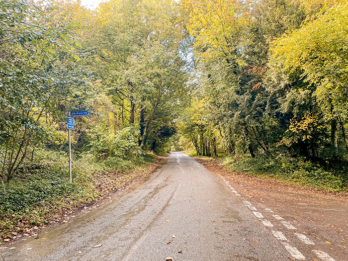
12. After pausing for a break at the lookout, continue on the path which brings you out onto a small lane. Follow the lane to the right which will shortly bring you out at a small Slindon Estate car park with an information board.
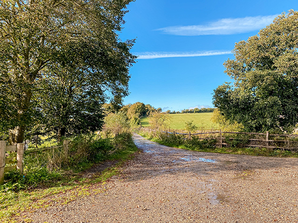
13. From the car park, follow the road to the left and you will shortly see a fingerpost leading off to the left. Follow this fingerpost and continue straight on this path which will start to ascend fairly steeply.
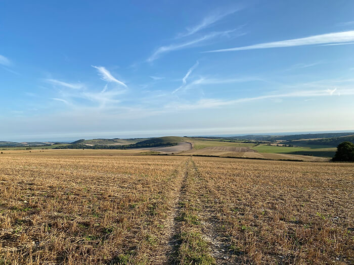
14. At the top of this path make sure you turn around to enjoy the stunning panoramic views across to Bignor Hill and across Slindon Estate to the folly!

15. Where the path then splits, take the path to the right and continue straight on this path, keeping to the right. This path will eventually bring you back out on the corner of Top Road where the walk commenced!
We hope you enjoyed this walk! If you have tried out this walk, we would love to hear your
feedback – please use our review form below or you can drop us a
message via the contact form on our website.
Slindon Estate and Nore Folly walk
Excellent instructions
But very muddy