Cocking to Singleton
Cocking to Singleton Loop
Distance: 8.3 miles; 520 metres climbing
This is a beautiful route in some of the most glorious, undulating countryside that Sussex has to offer.
Parking: We parked just off the A286, about half a mile south of the village of Cocking, near Midhurst, in the designated car park where the South Downs Way (SDW) crosses the main road.
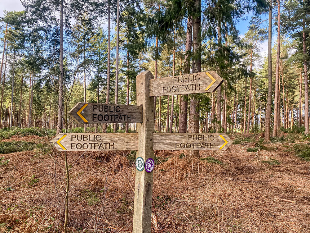
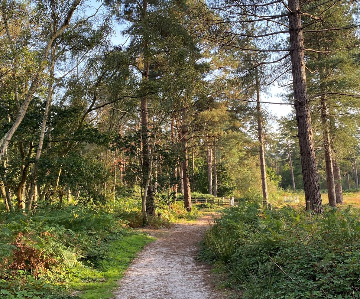
The route is shown on the attached Komoot map below. We walked clockwise, walking on the SDW up towards Graffham Down before turning off at the top of the hill at the first opportunity and then heading down through Charlton Forest. This is a wonderful stretch, lovely and cool on a warm and somewhat humid Summer’s day.
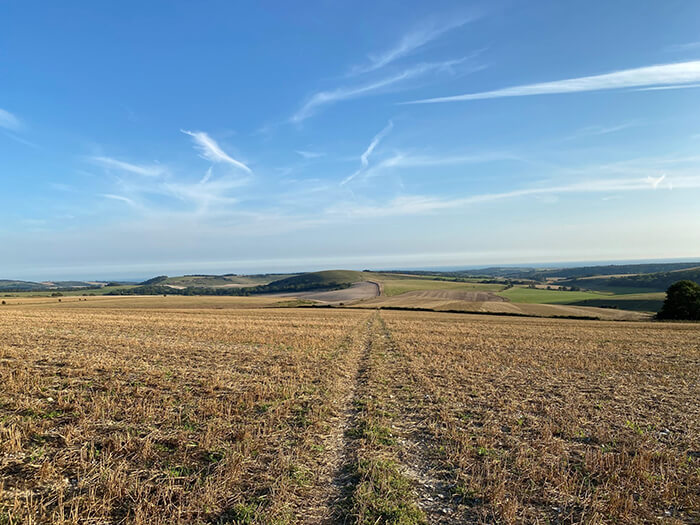
As we headed over Levin Down we looked back to and got some delightful views of the undulating countryside as well as a view of Singleton and a glimpse of the impressive Goodwood racecourse on the distant hills.
Unfortunately we had completed the first half of the walk a little quicker than expected and were too early for lunch in the pub at Singleton (The Partridge), so instead we headed into the well-known Weald & Downland museum café for well-earned refreshment by the pond.
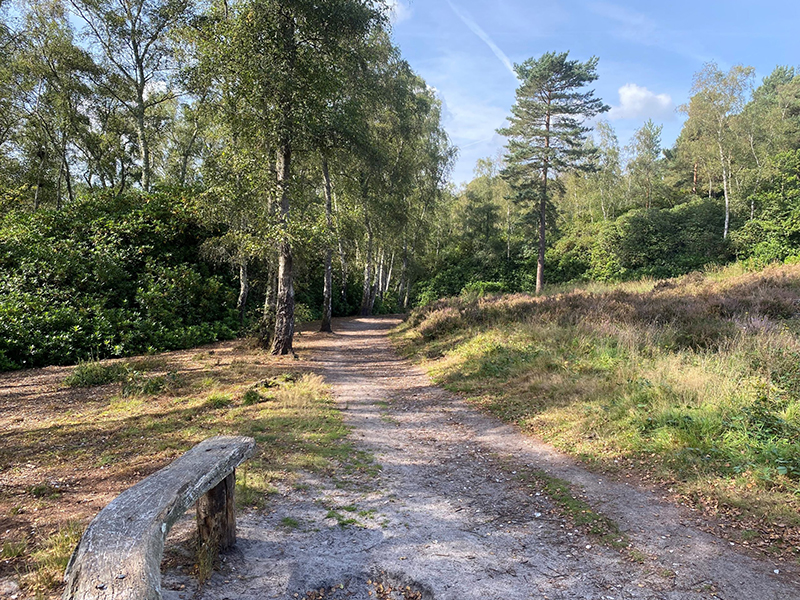
Post refreshment, we took the route up Hat Hill and then headed north into Westdean woods. There are many different routes that you can take in here but we chose to head up to the SDW and then follow this route back down to the car park. Here you get some great views of the first part of your walk.
Sadly, the café near the car park (Flint Barn café) was closed (Monday!) so we headed into Midhurst for a post walk coffee and Eccles cake.
Great route, climbing is not too tough, views spectacular and opportunities for refreshments in Singleton and back at Cocking. Thinking that a mountain bike route around here would also be good given the amount of bridleways.
Route Map